
Consolation Lakes, Moraine Lake: Forest, Boulders and Mountain Views
A shorter Moraine Lake hike through forest to the first Consolation Lake, with rocky footing, mountain views and transport advice.

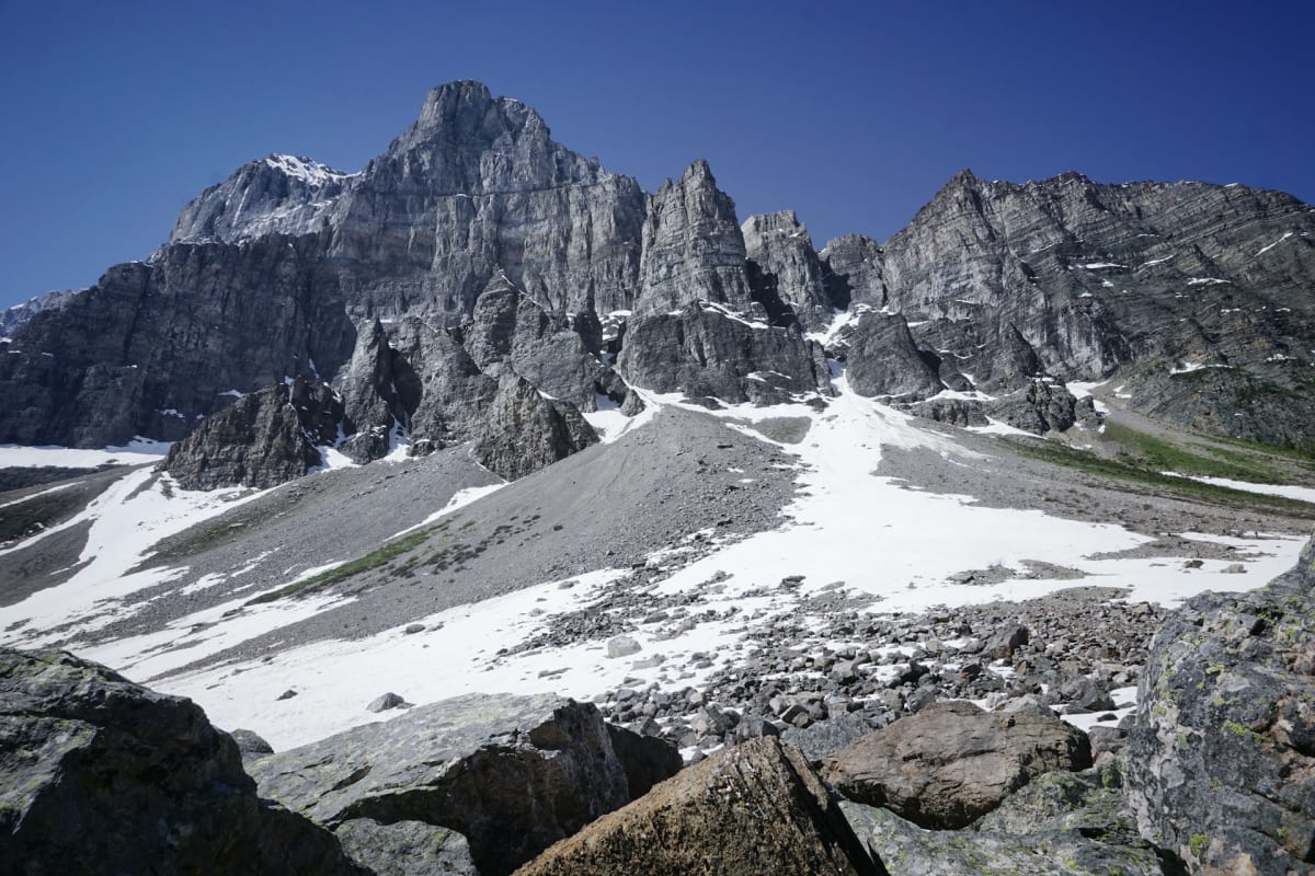
Consolation Lakes sounds like the runner-up prize, which is rather unfair on the place. The walk follows forest and Babel Creek into a rocky mountain basin, giving you a different outing from the high viewpoints above Moraine Lake.
It's a good choice when you want to use the hiking boots without taking on the climb into Larch Valley. The park route to the first lake is 5.8 km return, with modest height gain and about two hours of walking, plus time beside the water. The qualification is underfoot: rocks at the start and boulders by the lake keep it from being a smooth lakeshore stroll.
At a glance
| Distance | 5.8 km return to the first lake; AllTrails track about 6.3 km |
|---|---|
| Elevation gain | Park route: 135 m gain and 50 m loss outward |
| Time | About 2 hours return; allow extra time for a lake stop |
| Difficulty | Easy park rating; rocky start and boulder shore |
| Route | Out and back to the first Consolation Lake |
| Trailhead | Moraine Lake, near the Rockpile |
| Facilities | Toilets at Moraine Lake; carry food and water |
| Dogs | On a leash where permitted; transport rules also apply |
Trail map
Explore the route and recent trail reviews.
View this trail on AllTrailsThrough the forest beside Babel Creek
Start on the signed Consolation Lakes trail near Moraine Lake's Rockpile. At the first junction, the Rockpile route branches away; continue towards Consolation Lakes through the rocky opening.
Beyond it, mature forest closes around the trail and Babel Creek gives the valley a line to follow. The modest gradient leaves more room for conversation than the switchbacks to Larch Valley, with water and trees providing interest before the mountain basin opens ahead.
The first lake
Near the lake, forest gives way to meadow and a boulder-fringed shore. Mountain slopes enclose the water, making the change of scene feel greater than the distance from Moraine Lake suggests.
The meadow offers an easier place to pause than the large shoreline rocks. Moving among those boulders requires more care than the approach trail, particularly for children or anyone less steady on uneven ground. The ordinary walking route described here ends at the first lake; the upper lake involves rougher travel.
This is a fine place for a picnic brought from town. Returning by the same forest path leaves time for Moraine Lake too, without squeezing two substantial climbs into one day.
Who will enjoy this walk?
The Banff hiking listing rates Consolation Lakes easy, with 135 metres of gain and 50 metres of loss outward. AllTrails rates its slightly longer track moderate. The modest effort and uneven footing explain why the labels can give different impressions.
For families accustomed to trails, there is plenty of variety within a manageable distance: rocks, creek, woodland and a lake. For visitors who need a firm, even surface, the rough approach and boulder shoreline make this a poor choice. Short and accessible aren't interchangeable descriptions.
The Rockpile is a natural short addition before or after Consolation. One provides the elevated Moraine Lake view; the other takes you into a separate valley, so the two walks offer something different without another long ascent.
Getting there and planning the day
Moraine Lake Road is closed to personal vehicles year-round except for registered lodge guests. Our Moraine Lake transport guide and the official shuttle information cover seasonal access and return services. Park entry is separate, and toilets are at Moraine Lake.
July to mid-September is the main summer-footing window; snow and ice substantially change the rocky sections. Bring lunch, water, grippy footwear and mountain layers, along with bear spray, a headtorch and an offline map. When wildlife orders require minimum group access, the group must stay together with at least four people; leash and transport rules also apply to dogs.
Consolation works especially well as the walking part of a Moraine Lake day. There is time for the familiar view from the Rockpile and then a couple of hours following a creek to somewhere that feels quite different.
FAQs
How long is the Consolation Lakes hike?
Parks Canada's first-lake route is about 5.8 km return. The linked AllTrails track is about 6.3 km. Allow about 2 hours return, plus time at the lake.
Is Consolation Lakes an easy hike?
Parks Canada rates it easy. The modest climbing suits a shorter outing, though rocks, roots and boulders near the lake require care. AllTrails rates its version moderate.
Can you walk to both Consolation Lakes?
This guide ends at the first lake. The upper lake requires rougher travel beyond the ordinary walking destination.
Can you drive to the trailhead?
Moraine Lake Road is closed to personal vehicles year-round, except for registered lodge guests. Use a seasonal shuttle or licensed transport service.


