Rockpile Trail, Moraine Lake: A Short Climb to the Lake View
A short stepped walk to Moraine Lake's best-known view, with the designated loop, transport arrangements and a lakeshore stroll to follow.

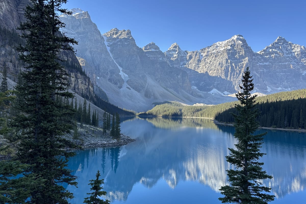
Moraine Lake's Rockpile gives you the view that turns up on postcards, calendars and a remarkable number of living-room walls. A short stepped path takes you above the near end of the lake, with the water stretching towards the Ten Peaks.
This is the obvious first walk for a short visit to Moraine Lake. Allow about half an hour for the walking, plus time at the viewpoints; the transport will take more organising than the trail.
At a glance
| Distance | Parks Canada: 0.7 km loop; AllTrails route about 1 km |
|---|---|
| Elevation gain | 35 m for the official loop; mapped AllTrails route about 21 m |
| Time | About 30 minutes walking; allow longer for photographs and busy steps |
| Difficulty | Easy rating, with steps and uneven ground |
| Route | Official short loop; map is an out-and-back variant |
| Trailhead | Moraine Lake visitor area; follow Rockpile signs |
| Facilities | Pit toilets near the lake; bring drinking water |
| Access | Seasonal shuttle or other authorised transport |
Parks Canada's 0.7 km loop and the roughly 1 km AllTrails out-and-back map describe slightly different versions of this short walk.
Trail map
Explore the route and recent trail reviews.
View this trail on AllTrailsFrom the shore to the viewpoints
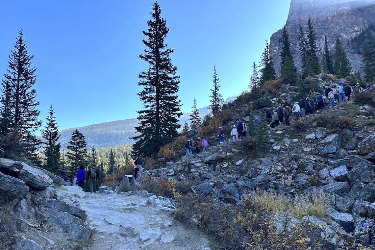
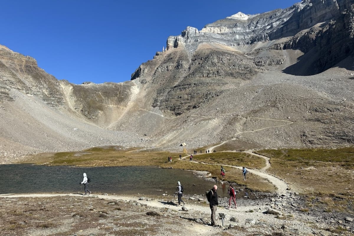
Start on the Consolation Lakes trail and turn right at the first signed junction. The built path climbs steps towards the lookouts, avoiding the boulders and floating logs at the lake's edge. There's no need to scramble up the rock pile itself.
The steps gain height quickly and connect several viewing areas. From above, you can see the length of the lake, with trees framing the near shore and the mountains drawing together beyond the water. The path brings you back to the lake when you've finished at the lookouts.
Short and accessible aren't interchangeable descriptions. The upper viewpoint has steps and uneven ground; the lakeshore offers an alternative without the climb. For visitors comfortable with stairs, though, this is a small amount of walking for a very different view.
Why everyone recognises the view
The scene appeared on an older Canadian twenty-dollar banknote. You may recognise the composition before remembering where you've seen it, even if you've never had that banknote in your wallet.
The height is what makes the difference. Down by the shore, you're looking across the water from its edge; up here, the shape of the lake opens out beneath you. Cloud, wind and the angle of the light change the reflections and colour, so the view rarely looks quite like the photograph you arrived with.
Make a visit of it
The Rockpile pairs easily with time beside the lake. Coming back down puts you close to the water again, with a different perspective and no requirement to turn the morning into a major expedition.
For more walking, Consolation Lakes adds a separate forest-and-creek outing. Larch Valley and Eiffel Lake need substantially more time and climbing, so those are better planned as the main hike. Our Moraine Lake guide covers the wider visit.
Getting there and the practical details
Moraine Lake Road is closed to personal vehicles year-round, except for registered lodge guests. Our Moraine Lake access guide explains the seasonal transport options, and the official shuttle information covers reservations and return arrangements. National park entry is separate.
There are toilets near the lake. Shoes with grip suit the steps, and water and a layer are useful for a longer stop at the top. This is a visitor-season walk: snow and ice alter the footing, and dogs must meet both park leash rules and the transport operator's requirements.
The familiar photograph is a good reason to climb the Rockpile. Having the whole lake and mountain valley in front of you is the better reason to stay a little longer.
FAQs
How long is the Rockpile Trail?
The official loop is 0.7 km. Allow around 30 minutes walking, plus time at the viewpoints. The map shows a slightly longer out-and-back version.
Can I drive to the Rockpile trailhead?
Moraine Lake Road is closed to personal vehicles year-round, except for registered Moraine Lake Lodge guests. Use a seasonal shuttle or licensed transport service.
Do I need to scramble over the rocks?
No. Use the designated stepped trail and established viewpoints. Don't climb the boulders or use the floating logs as a shortcut.
Is the upper viewpoint wheelchair accessible?
No. The Rockpile trail has steps and uneven ground. An accessible shuttle serves Moraine Lake, but the upper walking route isn't accessible.